
Dave’s Detours: Nestucca Bay
By Dave Powell
For the TODAY
Having walked south on the beach from Cape Lookout over Cape Kiwanda to Pacific Avenue in Pacific City there is roughly six and a half miles of road until you reach the beach at Winema Road. Fortunately, there is a break at the five-mile mark. You head west (right) at Christensen Road (Highway 101 mile 92.7) into Nestucca Bay National Wildlife Refuge.
The Nestucca Bay refuge has 1,202 acres, and is the largest in Oregon’s Coastal Refuge Complex. It began in 1991 and been enlarged with several additions. In 2000 the Neskowin Marsh added 375 acres. In 2009, The Nature Conservatory added the 76-acre Martella Tract, located along the Little Nestucca River. In 2013 another 200 acres were added — the Two Rivers Peninsula — by the cooperation of The Nature Conservancy and US Fish and Wildlife Service. Nestucca Bay National Wildlife Refuge has helped two species already: dusky Canada geese (a species of concern) and Aleutian cackling geese (formerly endangered). It is now being used to support the endangered Oregon silverspot butterflies, which only feed on the early blue violet (viola adunca). Talking last week with the ranger, I found out that they are increasing in number — and the small white net tents I spotted between Ocean Beach State Park (south of Cape Perpetua) and Muriel Ponsler are also involved with their restoration.
It’s Dave’s Detour Time, so turn right on Christiansen Road. The first parking area is half a mile. At the map kiosk you can find brochures for other reserves: Oregon Islands (some 1,800 islands with more than one million birds), such as Oceanside’s Three Arch Rock NWR, Siletz Bay NWR (last week’s article), Bandon March (South of Coos Bay), and even a bird identification guide and abundance chart. You get a decent view of Nestucca Valley from this lower lot. Continue another four tenths of a mile, gaining altitude for panoramic views, to the Trailhead Parking Lot.
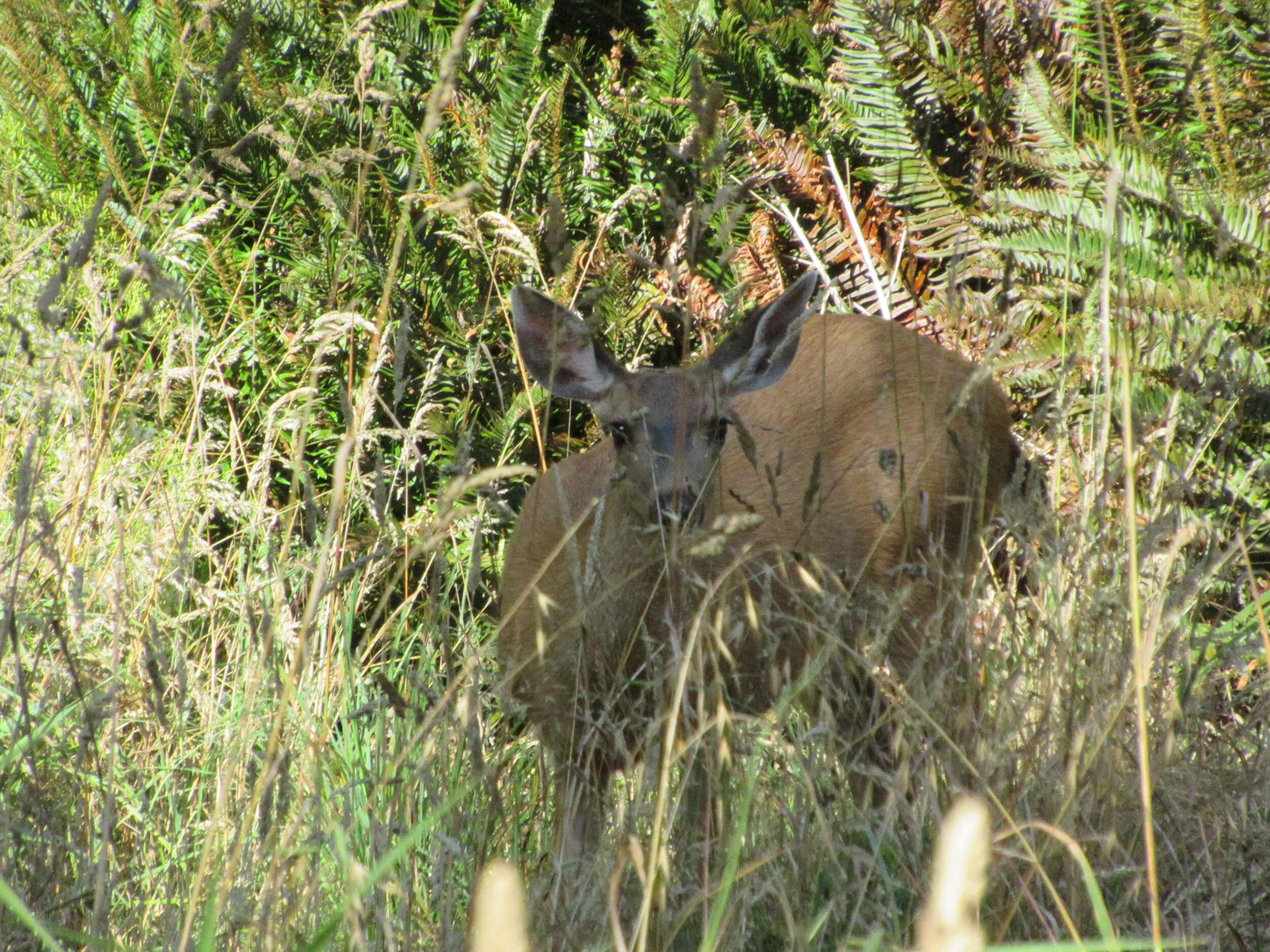
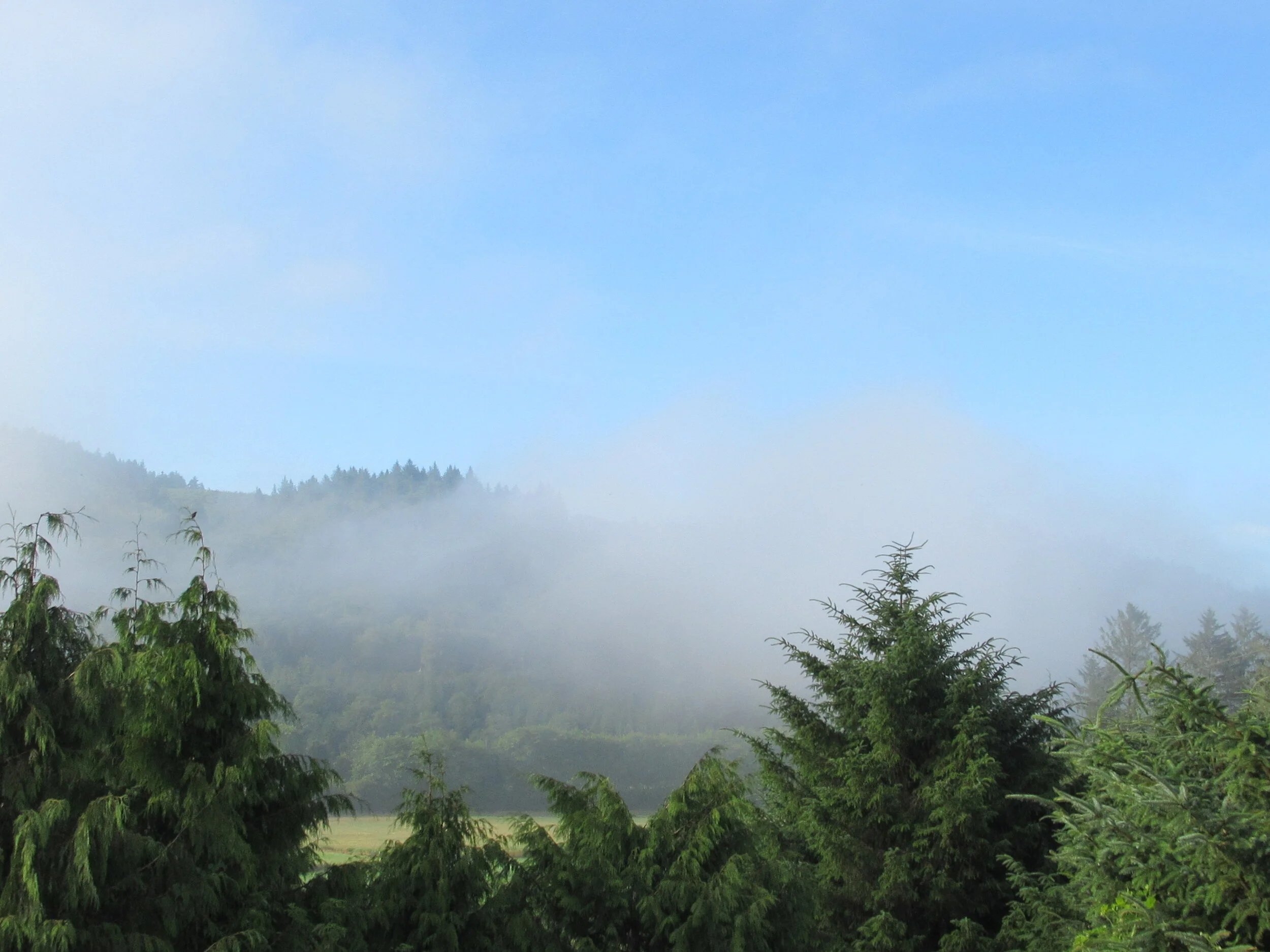
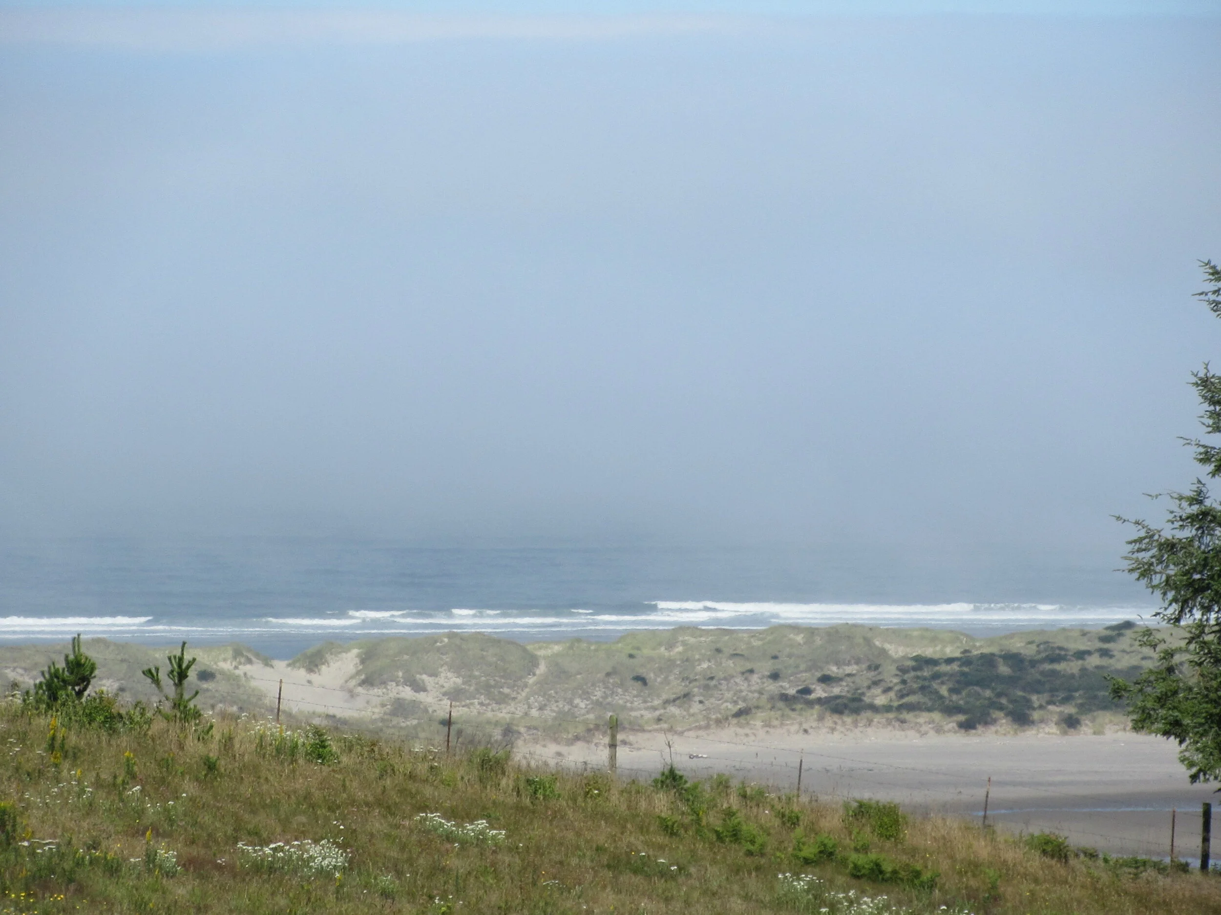
South of the parking lot is the paved Pacific View Trail with an observation deck at a distance of three tenths of a mile each way for a total elevation gain of 250 feet above Highway 101. It has great views of Nestucca Valley, Bob Straub State Park (saved from a paved, four-lane highway project) and the ocean. The ranger says she often sees deer up here at the tree line, I tend to find them down near the picnic area.
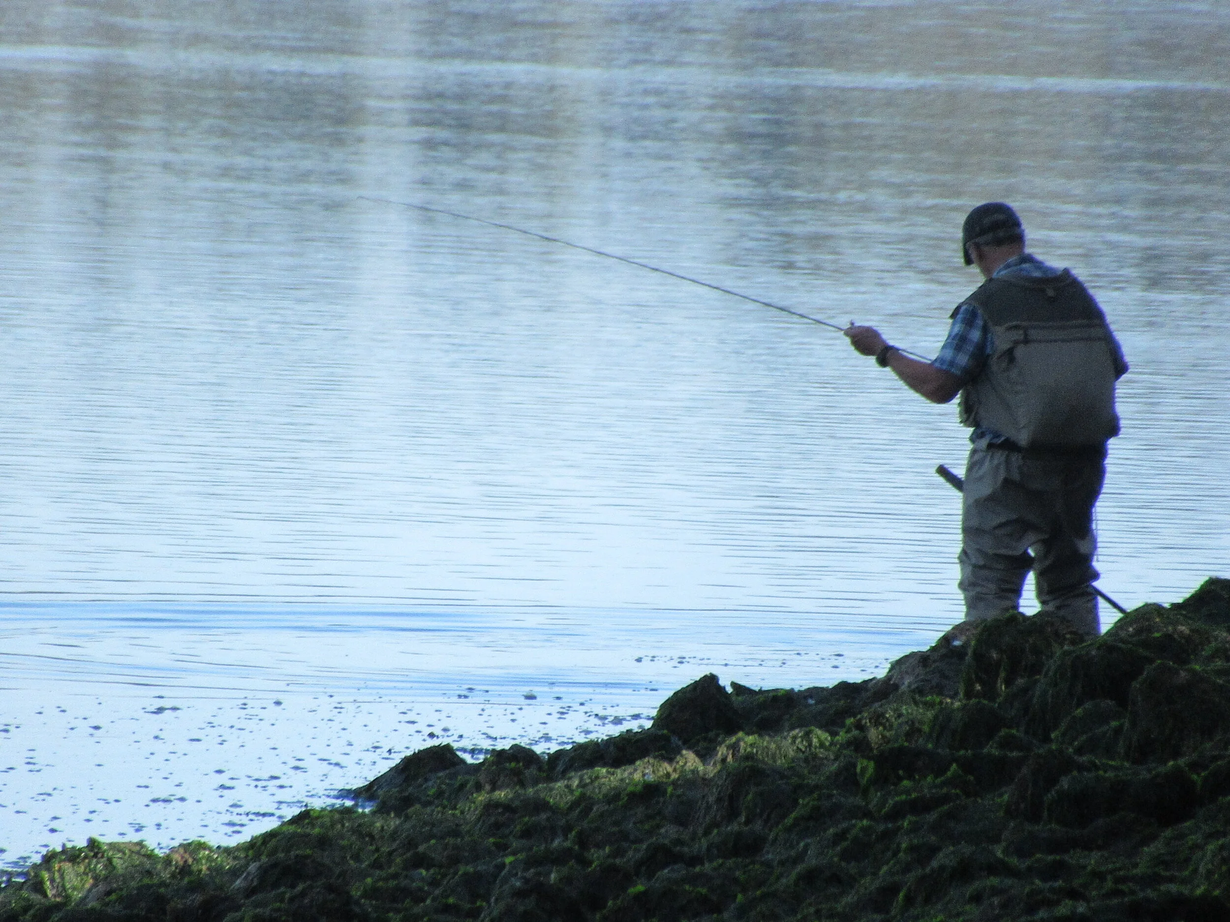
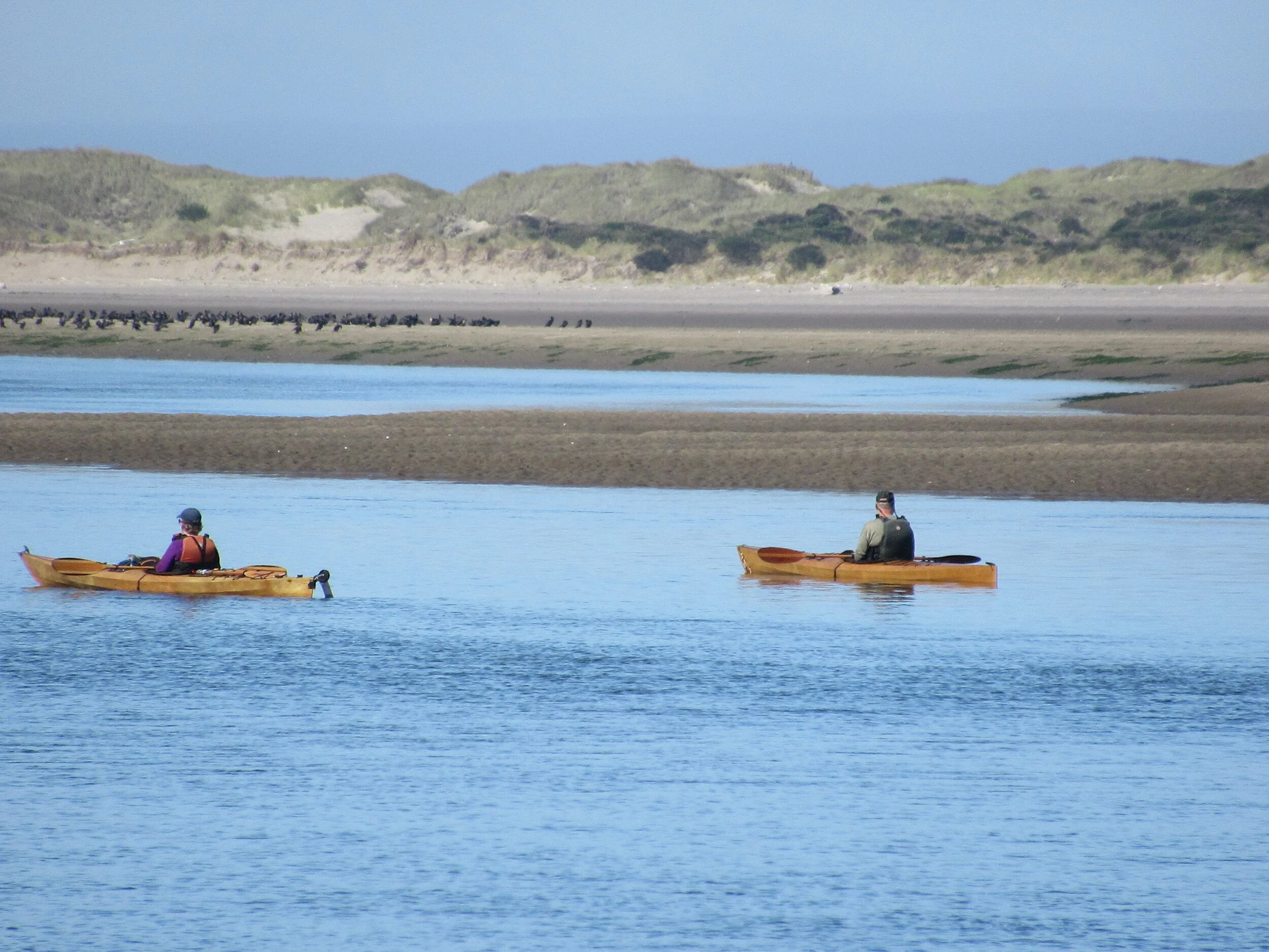
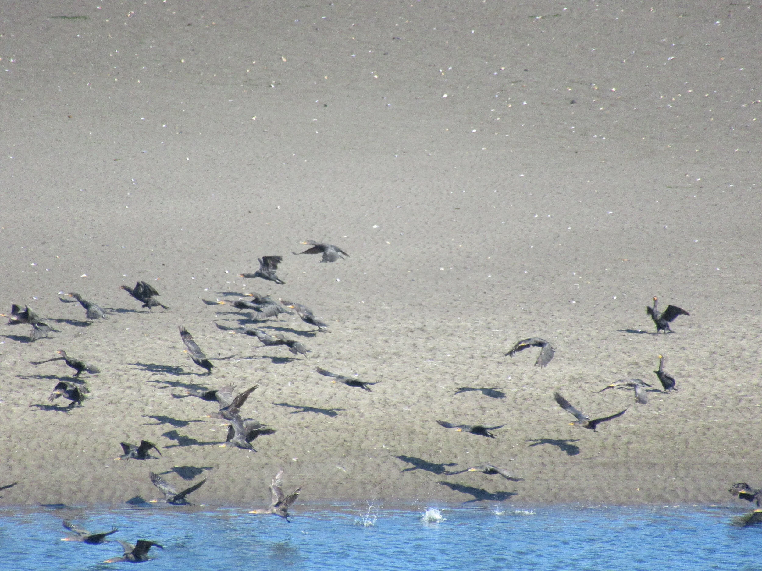
The trail north of the parking lot is the Two Rivers Trail — a footpath that supplements the service road. As you start you will notice a controlled burn section to remove the taller grasses so the shorter early blue violet can grow for the butterflies. After two tenths of a mile on the service road, and by now you should know the routine, keep to the right on the service trail. You travel four tenths of a mile to a junction, go right and travel another six tenths of a mile on pathway to the Two Rivers Viewpoint overlooking the Nestucca and Little Nestucca. From there you can often find birds on the river banks — and sometimes kayakers. You backtrack three tenths of a mile, go right. at the junction and travel two tenths of a mile to the picnic area, and another tenth of a mile to the fishing access. It is at the picnic area or the service road section near it where I usually spot deer. From the picnic area you take the service road three tenths of a mile and go right. Take the pathway back toward the parking lot — near the controlled burn it rejoins the service road, and go right to the trailhead parking lot. After following it for three tenths of a mile, I turn right back on the foot path, following it back to the service road to parking lot, and head back to Highway 101.
Nestucca Bay NWR is a great place to avoid highway noise, get out of the sun (and the heat), see some great scenery, and catch views of wildlife.
Final Tally:
Four and a half miles of additional picturesque opportunity with Dave’s Detour before walking south to Winema and Neskowin. It’s your choice.