
Dave’s Detours: Siletz Bay

By Dave Powell
For the TODAY
The new state Oregon Coast Trail maps are out. Unfortunately, they still include several long sections of hiking along the side of Highway 101. The only gap that is closed is the section at Neahkahnie Mountain, finished this year by Trailkeepers of Oregon.
Hopefully another of the highway sections will be shortened later this fall. The northern section of Rainforest Trail will be reopened by Trailkeepers of Oregon after being closed for more than 10 years. That will save walking one and three quarter miles on Highway 101 and one and a quarter miles on the Fire Road 1861. I am hoping after my wife’s arm heals to join a trail party and help.
After the six miles of beaches in Lincoln City comes another long section of hiking beside Highway 101. So rather than being bored it’s Dave Detour Time.
Walking south of Lincoln City about two and a half miles along the side of Highway 101 you pass Highway 229 and, just after the Siletz Bridge, on the east side is Siletz Bay National Wildlife Refuge. It’s small parking lot allows for no RVs or trailers, and dogs are not allowed out of cars.
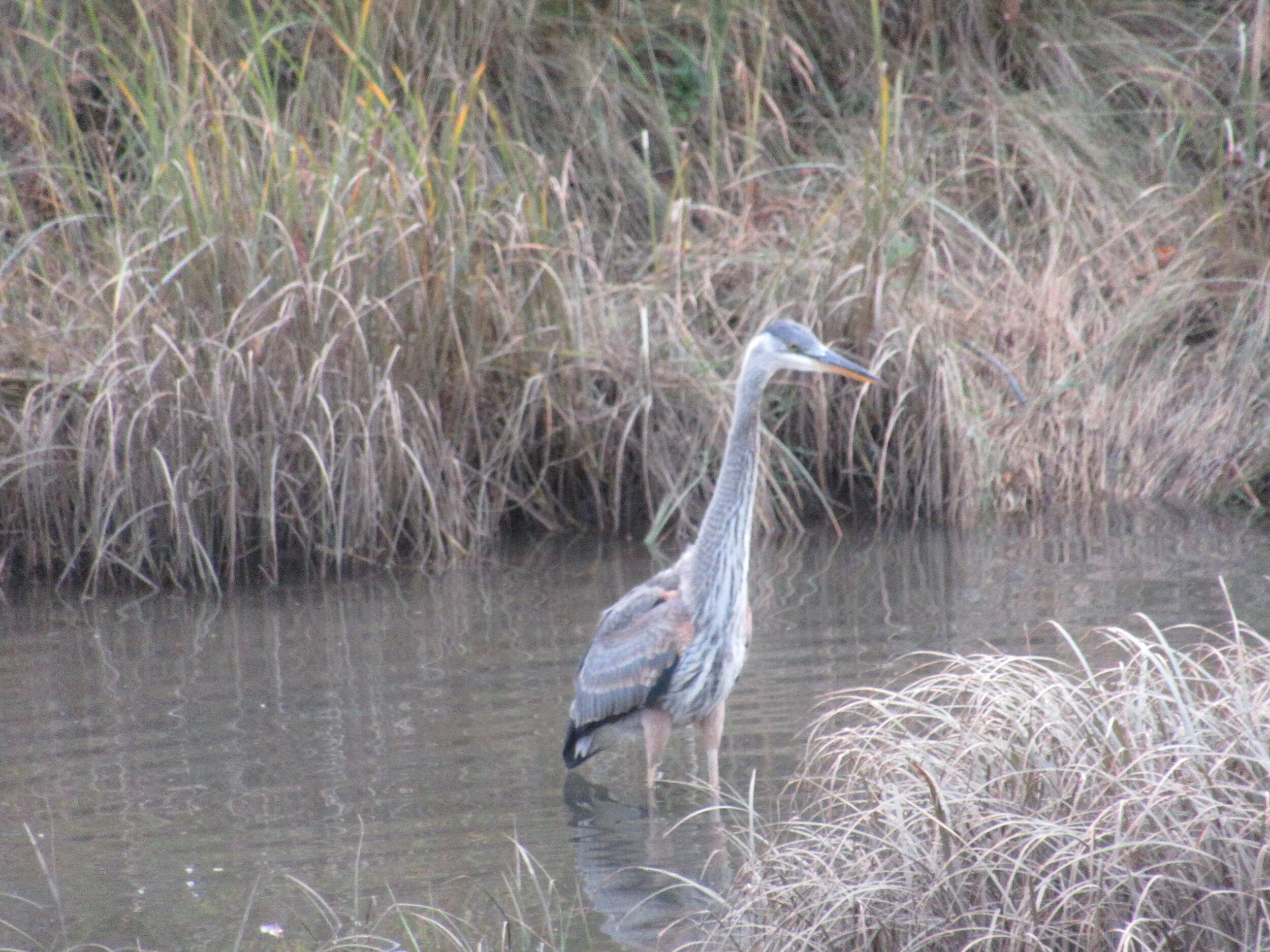
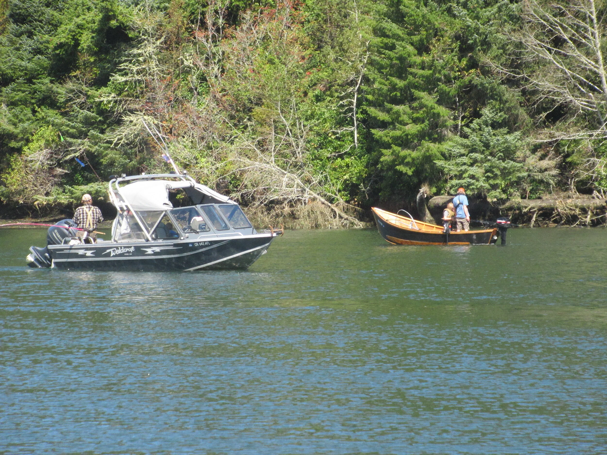
It is one of six National Wildlife Refuges (NWRs) comprising the Oregon Coast National Wildlife Refuge Complex (Nestucca Bay National Wildlife Refuge is next week’s detour). A nature trail opened in 2017, there is a kayak launching, and at the eastern end of the nature trail is a bench with fishing spot nearby.
Siletz Bay NWR was established in 1991 with a donation by John D. Gray of 46 acres of tidal salt marsh. The goal was to protect and enhance estuary fish and wildlife resources and their habitats. Other projects included a tidal marsh restoration project in 2000 and, in 2003, another project by Ducks Unlimited and the Confederated Tribes of the Siletz Indians restored 86 acres of tidal marsh at Millport Slough. Siletz Bay NWR has grown to 568 acres and a new set of signs about the species you might encounter went up in the last year.
It is really hard to get lost on this detour. You walk a quarter mile from Highway 101 on pavement, and the Alder Island Nature Trail is a loop. After walking half a mile on the trail, you are back to the start of the loop and you walk back to Highway 101. Of course, you could take a good long break at the halfway point — fishing and a nice bench are present. I have done some thinking there — as when I met a couple from Uruguay and Switzerland. They visit this area for about a month each year. I was thinking when he prompted me with Uruguay being in South America. I knew that but was remembering and shared that Uruguay gets all its electrical power from hydroelectric and even sends about three quarters of the total amount to the surrounding countries. Switzerland is known for cheese to make fondues (I would have said watches about 30 years ago but that technology has gone by the wayside).
The far end of the trail is a quiet area, good for a snack or longer rest break. For your eyes and ears Siletz includes hard and soft wood stands, water fowl, I have seen an eagle once or twice, and sometimes Roosevelt elk are seen (but not by me).
Final Tally:
One mile of additional picturesque opportunity with Dave’s Detour before returning to Highway 101. It’s your choice.