Nestucca in the middle with you
By Dave Powell
For the TODAY
Finally, a day without the marine layer. I had been waiting a week. July 25 (only five months to Christmas) I was hiking part of the Oregon Coast Trail, at Whiskey Run near Bandon. I first headed north to get around 5 Mile Point (rechecking that a tide height of four feet was enough clearance), then went south toward Bullards State Park. I can see the ocean, or the cliff edge — rarely both. On the way back to the car it is a good thing I have a Garmin — I needed it to get within 100 feet before I could see the beach access sign.
But I guess I shouldn’t complain. We might have a foreshortening of our vision or miss views of the scenery; but marine layer means the Willamette Valley is baking somewhere near 100 degrees.
The Oregon Coast Trail from Pacific City and Lincoln City is road, beach from Winema to Neskowin, then road to Cascade Head, followed by more road to Chinook Winds Casino Resort and the beach. I need a break, and fortunately there is one at Christensen Road, two and a quarter miles on Highway 101, just before Oretown.
Nestucca Bay National Wildlife Reserve was established was started in 1991 for Dusky Canada Geese and Aleutian Cackling Geese. During January and February the flooded fields are filled with hundreds, even thousands of feathered visitors, as Nestucca Bay Refuge continues to provide excellent wintering habitat for these and four other subspecies of white-cheeked geese. It wasn’t until somewhere around 2010 that it was opened to the public — which was before I moved to Oregon in December 2015.
It was early 2016 that I first visited Nestucca Bay for a talk centered on the Oregon Silverspot Butterfly. It has been listed federally as threatened since 1980, and its range is small. They are sedentary butterflies and do not migrate; staying in the same area for all four life stages (as egg, larva, pupae, and adult). This year, the white “butterfly” canopy tents are present, as are shoe “tread cleaners” to prevent the introduction of invasive weeds.
I first head uphill on the Pacific View Trail to get a panoramic view. It shows where I have been hiking the Oregon Coast Trail to Cape Kiwanda (if no marine layer), Pacific City with Haystack Rock, and Bob Straub State Park (which would be a nice alternative to the OCT road walk, if only a ferry taxi service existed). It also gives a good view of coastal mountains — often with clouds encircling their tops. Also from the viewing deck, if the eagles are flying you get to watch.
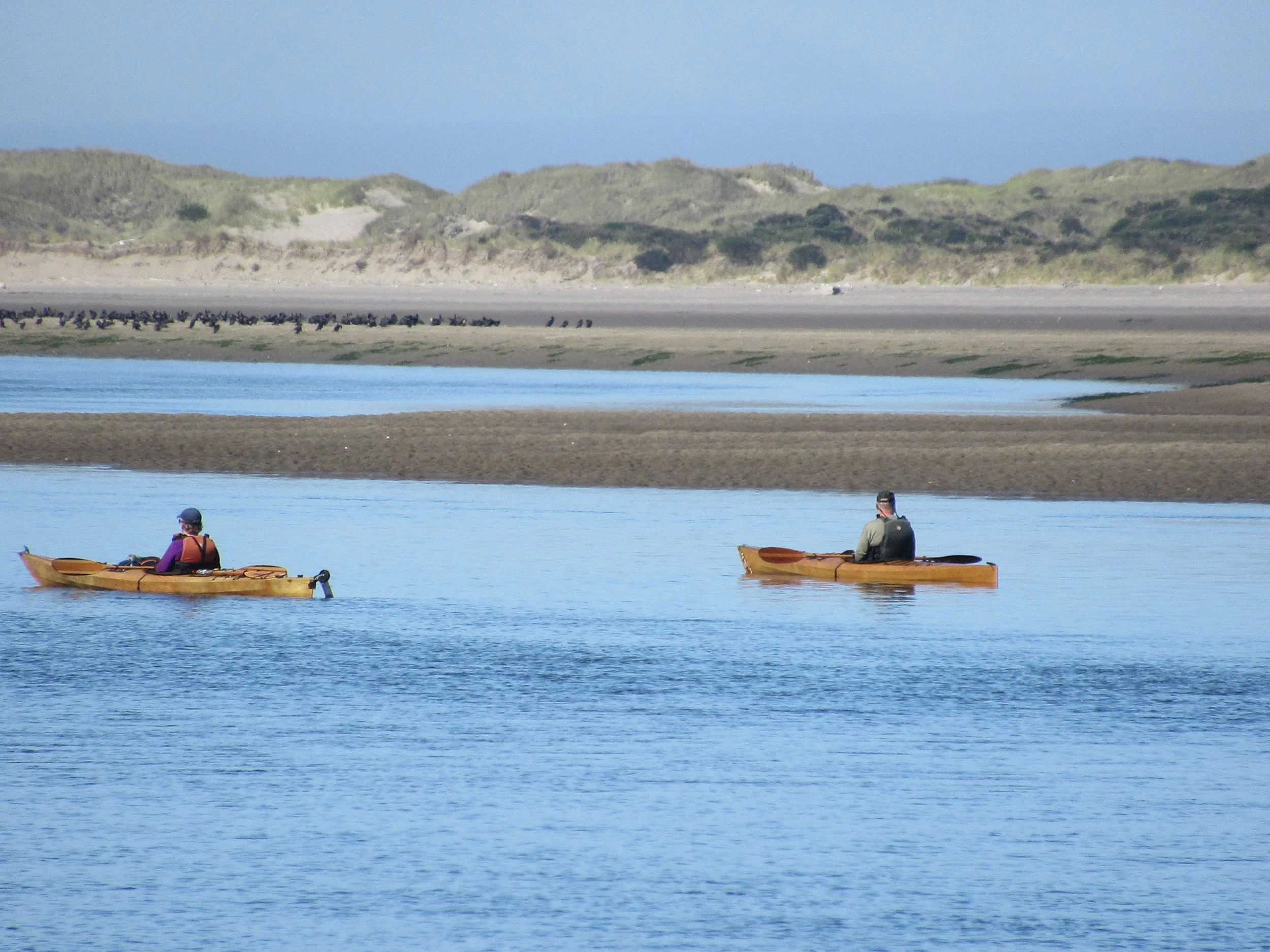
As a Powell, there are times to do things the “right” way. Of course, I prefer to use the concept of going counter clockwise for those occasions. The former jeep trail heads down to Two Rivers, but note: the last 1,000 feet of the trail is closed due to an eagle nest. Continuing counter clockwise you reach the picnic area (with table, bench and a fishing access area). From here you also have a chance to spot the eagles flying. I hope you have better luck than I did. Usually in the picnic area I catch sight of deer. With the closure of the Two Rivers Trail on account of the eagles’ nest, this becomes the place to watch kayakers in the estuary.
Final Tally:
The detours add up to roughly four miles. There is almost half a mile each way to the upper parking lot, a third of a mile each way to the observation deck, and the trails to the estuary and beach are another two miles.
Get outside and enjoy. Take time to look around. This is the great Oregon Coast. Maybe our paths will cross.


