
The Sweet Tooth Trail

By Dave Powell
For the TODAY
This detour is one I do when I feel the need to walk, but am not interested in driving far.
I don’t know when I first discovered both parts of this detour. I undoubtedly found the Yaquina Bay Bridge Trail in the spring of 2016, after moving from Ohio. It would have been obvious after I had first walked out some on the jetty in Newport toward the ocean and then followed east before returning to the ocean beach. Exactly when the Sweet Tooth Trail appeared on my radar is another matter. Perhaps it was getting to the Coast Guard building when a little “Rumbly in my tumbly” detoured me down Bay Blvd.
The Oregon Coast Trail travels along the ocean to approximately mile north of the jetty in Newport. At Beach Access 60, it heads east/inland to Yaquina Bay Park Road, heads south/right until you take the bridge to South Beach to rejoin a nearly uninterrupted beach walk of about a dozen miles to Waldport.
For this detour I normally start at Don & Ann Davis Park on Olive Street (Beach Access 59A) making a nice trip of roughly five miles.
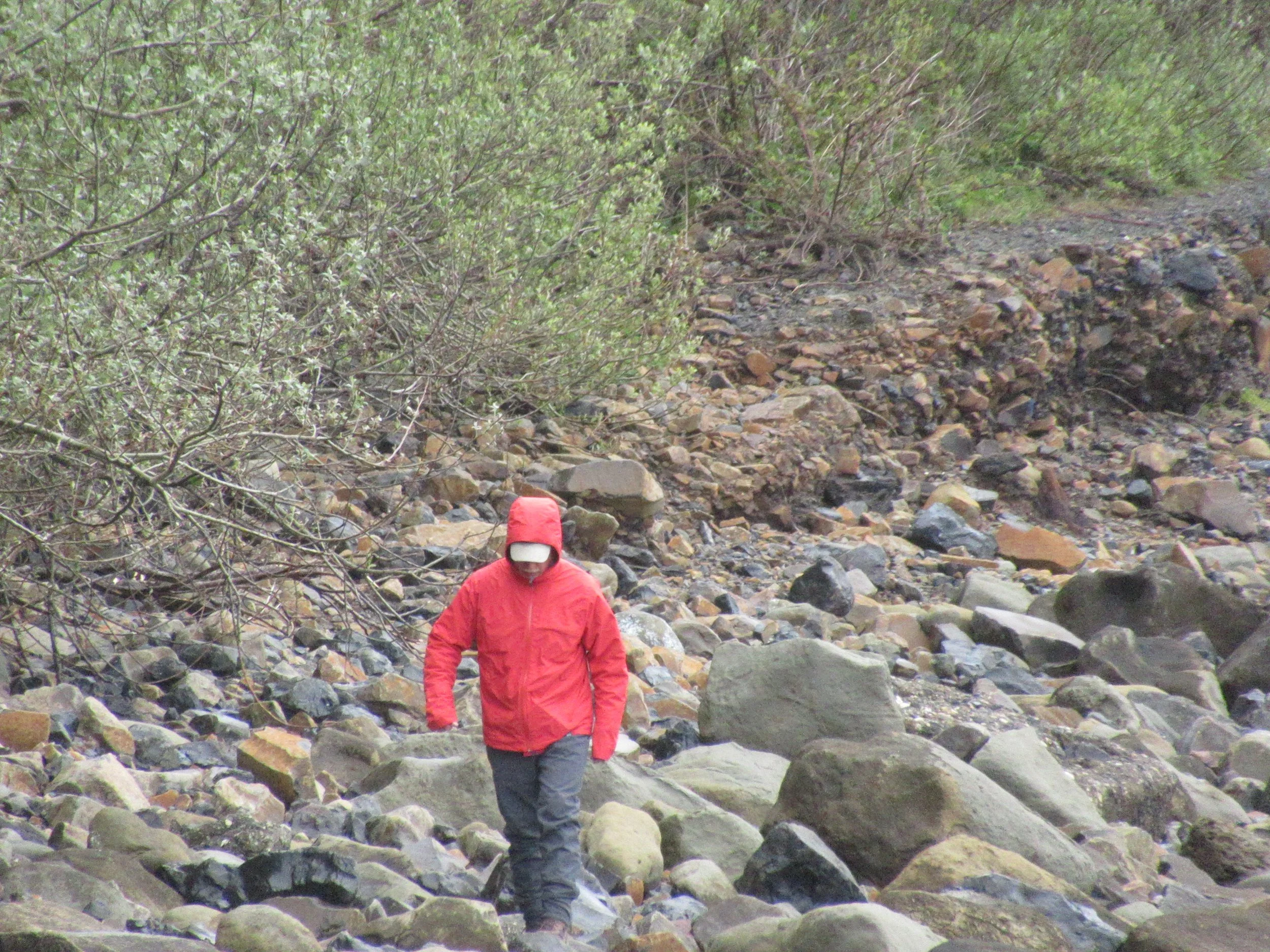
The Yaquina Bay Bridge detour starts by going toward the jetty with a slight angling to the SE. At the jetty careful walking (so as not to fall into the jetty!) shortly leads to a flat area. Take the trail along the Yaquina River (in one section it has failed, so be careful over the rocks). This is also a place for tidal pool exploration. When the trail restarts, follow it until you are next to the Coast Guard building. For those just taking the Yaquina Bay Bridge detour, you turn left, head up the street about a tenth of a mile, cross the bridge — the detour has been less than a mile — but you get to see boats and ships in the jetty, and visit the tidepool area. Since it is June the California Sea Lions have headed south to visit their girlfriends, but they will return barking in August.
Or you can listen to that “Rumbly in the tumbly” and turn right and down to the Bayfront. This detour adds another mile, but the culinary delights (at least for me) ensure that my walk doesn’t burn off all the calories ingested.
Whether it was Frederick the Great or Napoleon saying “armies march on their stomachs,” it is also true of hikers.
On the Sweet Tooth Trail you go past two restaurant mainstays on Bay Blvd. The first is Rogue’s Bayfront Public House at a third of a mile mile, and the second is Mo’s Seafood and Chowder just further along Bay Blvd.
Bu the real reason for the Sweet Tooth Trail is the three candy stores.
The first candy store as you walk along Bay Blvd. is 2 Kids Candy — it is the last one I visit, read on to find out why.
The second candy store is the Republic of Candy, about 50 yards beyond 2 Kids. It is easy to spot, with the large swirled lollipop over the entrance. It has a selection of the older variety candies, the Moon Pies and flavored sugar sticks usually catch my attention. And of the three, if you want to “chew the fat” this is the place.
The third candy store is Newport Candy Shoppe, another tenth of a mile on Bay Blvd, and filled with the thunka, thunka, thunka of the taffy machine. Also, it is cash only, with an ATM machine present.
Returning to 2 Kids Candy as you head back to Yaquina Bridge, you will be visiting the largest candy store. They have large selection of salt water taffy, chocolates, old varieties candies (maple buns catch my eye), and popcorn. The reason for being my last candy store before I resume hiking is the popcorn. At $1 a bag, it is a great treat to snack as I return to my car at Don & Ann Davis Park.
The Yaquina Bay Bridge is two thirds of a mile long, and the Sweet Tooth Trail is half a mile long out and back on Bay Blvd.
The Yaquina Bay Bridge is two thirds of a mile long, and the Sweet Tooth Trail is half a mile long out and back on Bay Blvd.