
Detour No. 7: Nestucca Bay National Wildlife Refuge

Located just south of Pacific City, this refuge covers 1,202 acres, and is the largest in Oregon’s Coastal Refuge Complex. It began smaller in 1991 and seen several additions. In 2000, the addition of Neskowin March expanded the refuge by 375 acres. 2009, saw the addition 76-acre Martella Tract, located along the Little Nestucca River, through the help of The Nature Conservancy. In 2013, another 200 acres were added — the Two Rivers Peninsula — through a partnership with The Nature Conservancy and US Fish and Wildlife Service.
About 60 years ago in Ohio there was a place called Mosquito Lake, five miles north of my hometown of Warren. They tried renaming it Roosevelt Lake. If my memory is correct, after a dozen or so signs “disappeared,” the rename attempt failed. Mosquito Lake was a site to help the endangered Canada goose.
They took 55-gallon drums, cut them in half from top to bottom, attached four long metal legs, placed them in the lake away from predators and filled them with straw. Canada Geese are no longer endangered, but walking in many places at Mosquito Lake is an unsuccessful attempt to avoid their droppings.
Nestucca Bay National Wildlife Refuge is roughly five miles south of leaving the beach at Pacific City for Booten Road and Highway 101 and roughly one and a half miles before Winema Road where you head back to the beach and Neskowin. It has helped two species already: dusky Canada geese (a species of concern) and Aleutian cackling geese (formerly endangered). It is now being used to support the endangered Oregon silverspot butterfly, which only feed on the early blue violet (Viola adunca). I am hoping that two out of three is bad (sorry Meatloaf) — and that it is successful in all three.
Nestucca can be used as uphill and trail practice as it has been nearly 50 miles of flat beach and roads after Neahkahnie Mountain, and Cascade Head is only 10 miles away.
So, rather than continue on Highway 101 — it’s Dave Detour Time.
Turn right on Christiansen Road. The first parking area is half a mile at altitude gain of 75 feet and offers a decent view of Nestucca Valley.
Continue another four tenths of a mile, another altitude gain of 150 feet for the second parking lot.
Now comes the real fun.
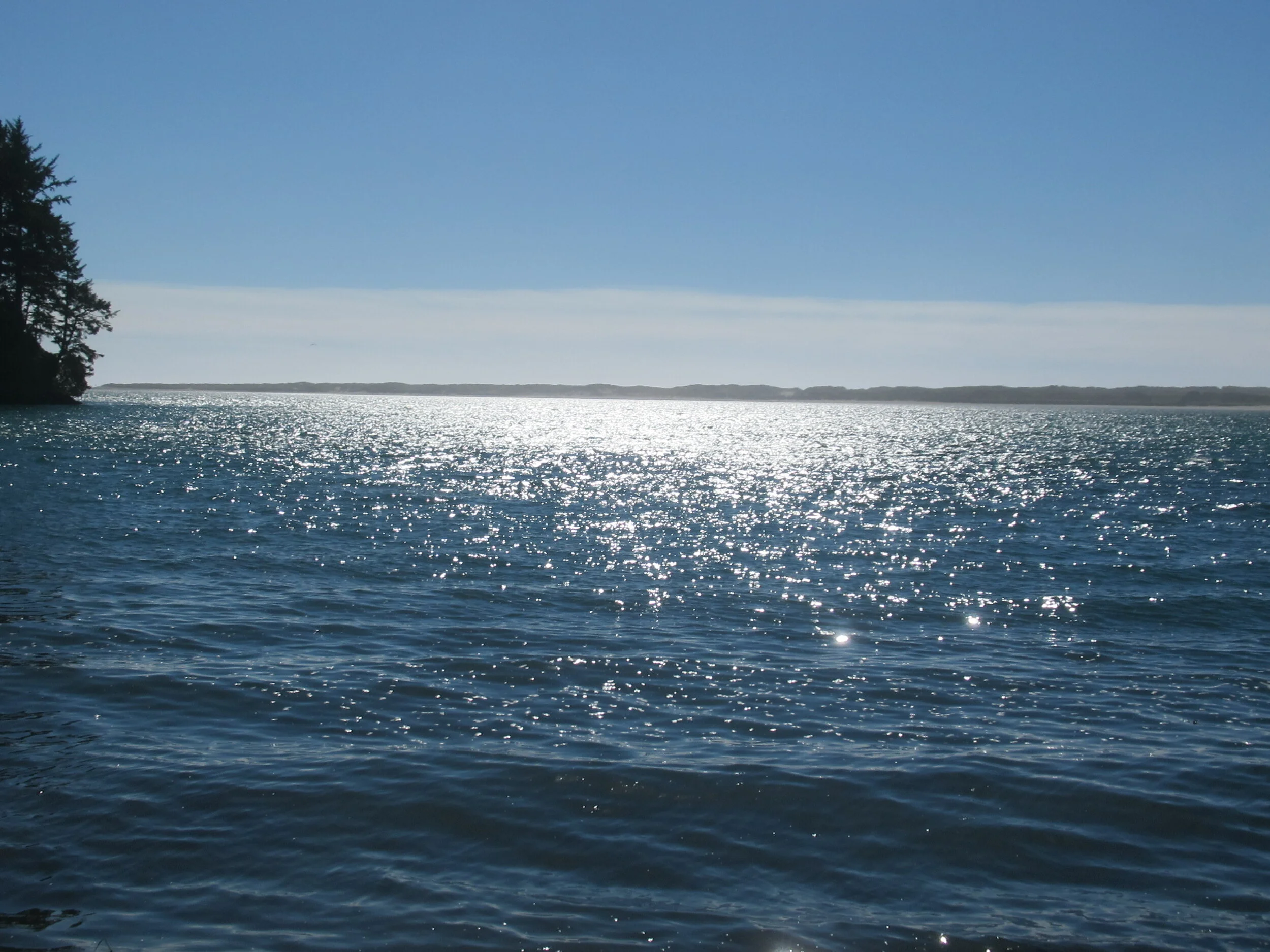
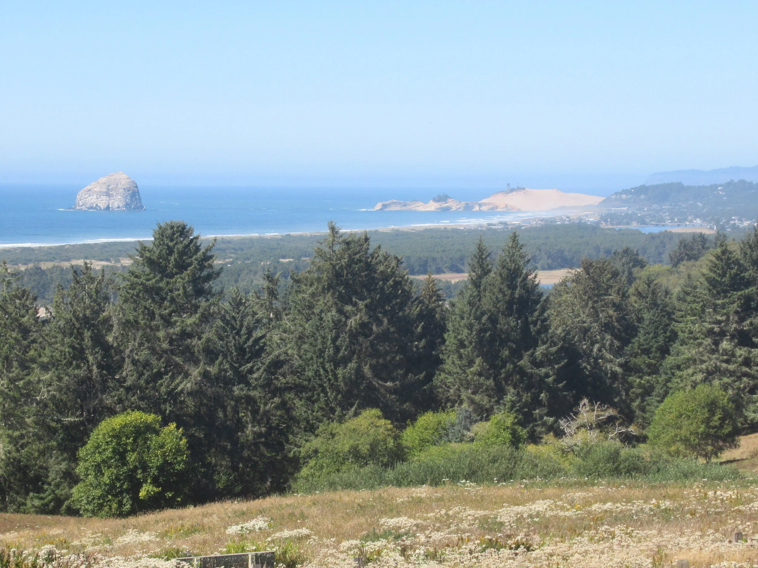
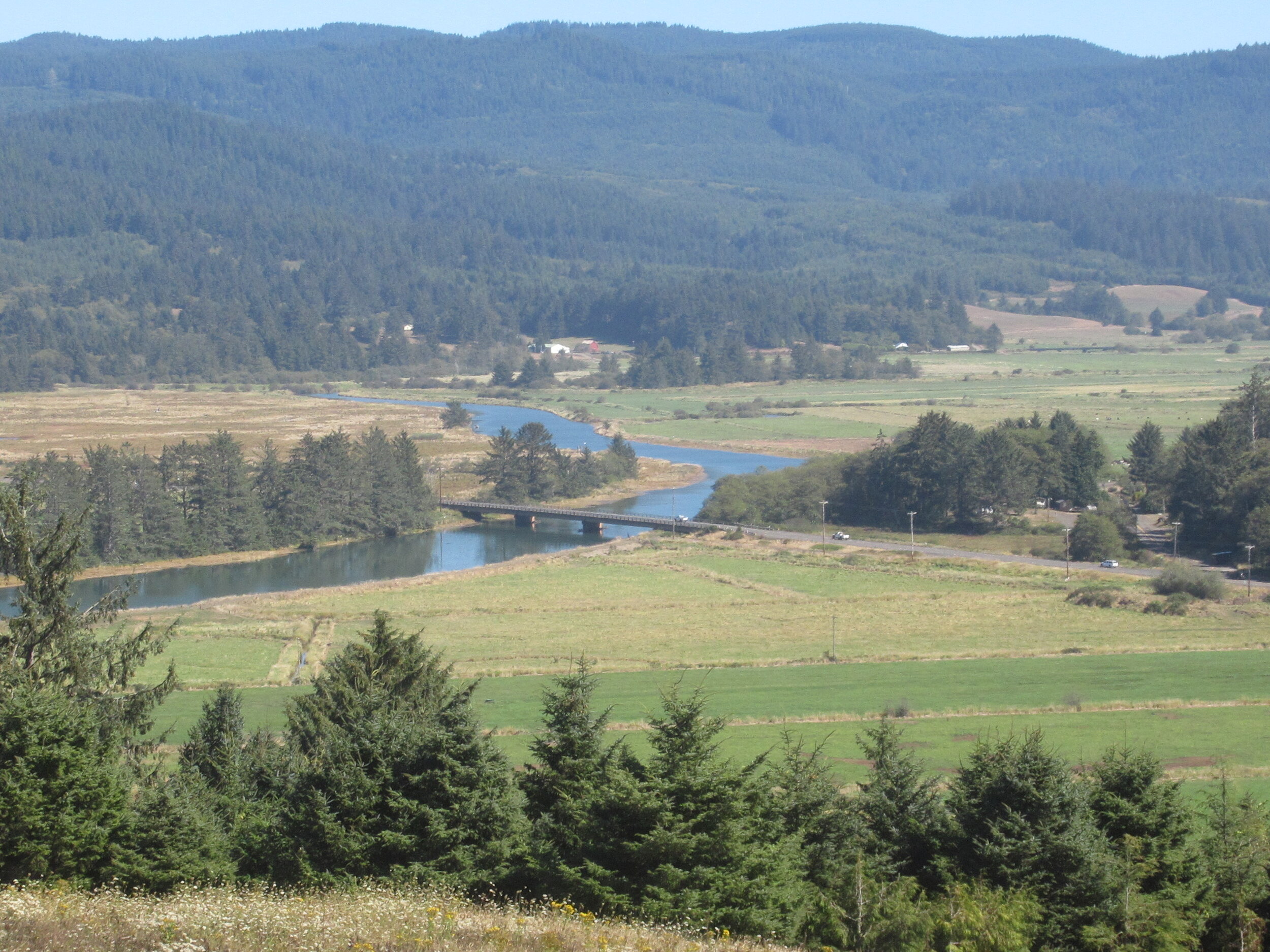
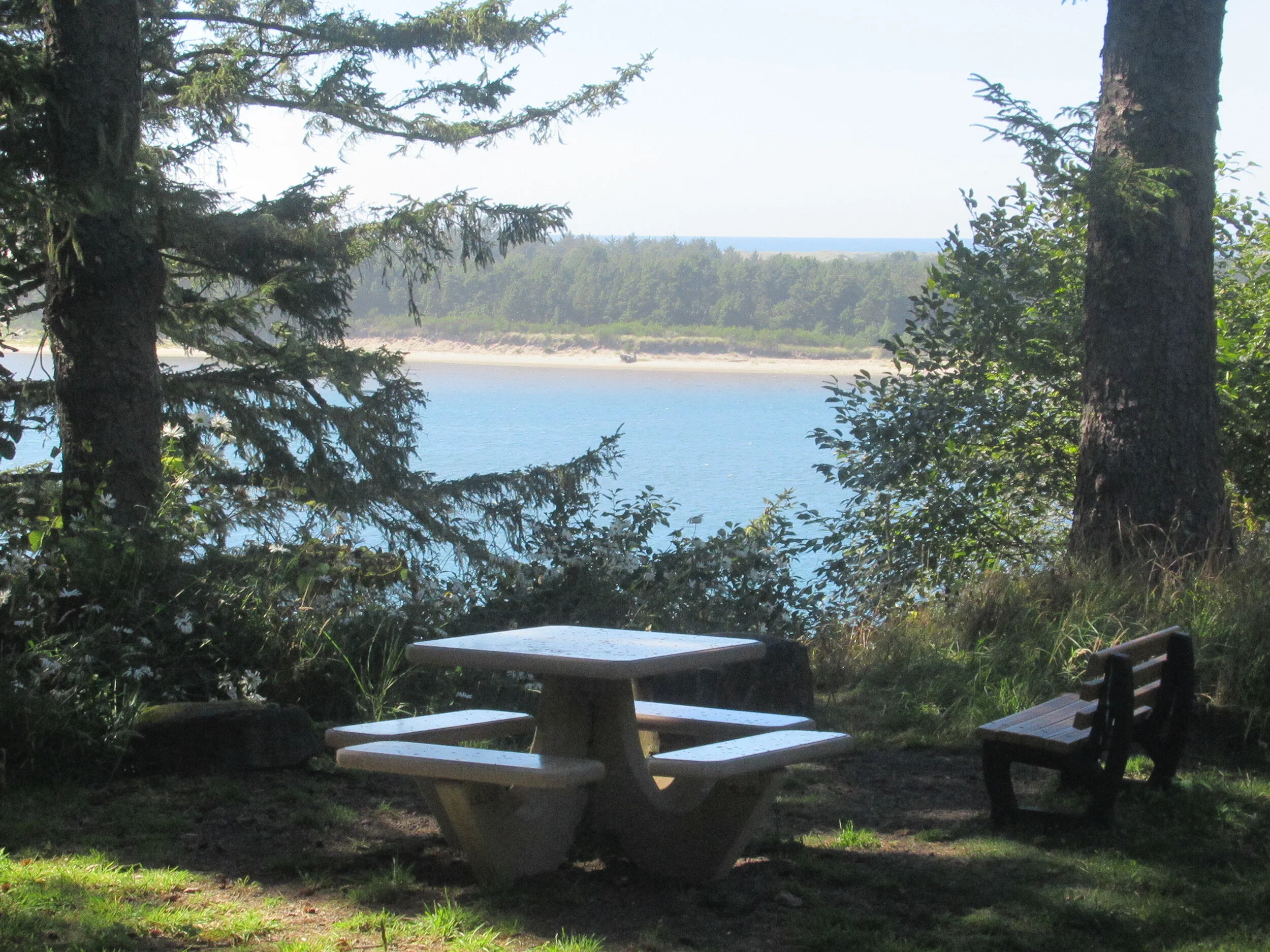
South of the parking lot is the paved Pacific View Trail with an observation deck at a distance of three tenths of a mile (another 50 feet of elevation gain) — Great Views of Nestucca Valley and the ocean.
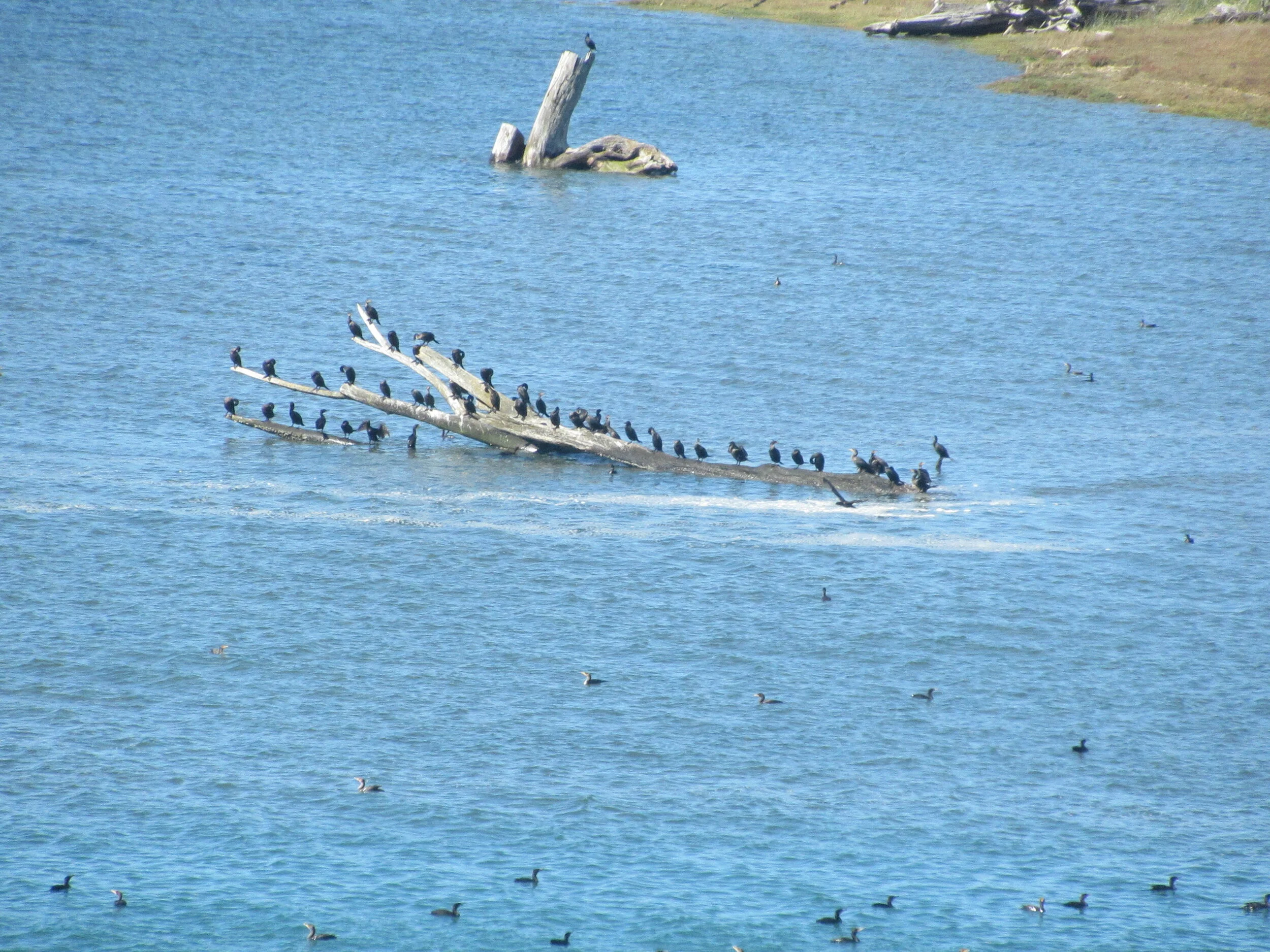
North is the Two Rivers Trail — a footpath supplemented with a service road. You start with two tenths of a mile on the service road, then turn left on the foot path. After descending (Yeah!) about half a mile, you rejoin the service road. Turning left you go about 50 feet, and then turn right to rejoin a 0.6-mile section of the footpath down the Two Rivers Viewpoint. Backtracking three tenths of a mile, you then take a 0.2-mile path to a picnic area and another tenth of mile to the fishing access. From the picnic area, I prefer to take the service road. Although shorter, this is the section where I occasionally spot deer. After following it for three tenths of a mile, I turn right back on the footpath, following it back to the 0.2-mile section of service road to parking lot and head back to Highway 101.
It is a great chance to avoid highway noise, get out of the sun, see some great scenery and catch views of wildlife.
Final Tally: four and a half miles of additional picturesque opportunity with Dave’s Detour before walking south to Winema and Neskowin. It’s your choice