
Detour No. 1: Sitka Sedge

When I proposed this series on Oregon Coast Trail detours, things were the “old normal.” People traveled, Governor Kate Brown had not yet heard of COVID-19: people did not need masks, and the Oregon Parks and Recreation Department was in the process of releasing new, updated maps of the Oregon Coast Trail.
It is really hard to know what is the Oregon Coast Trail. The state website took down the old maps and, with the disruption, the new maps weren’t released this spring. What I do know is the “old” map 3, instruction box 1 said, “Go to the mouth of Sand Lake. The outlet can be forded at low tide in the summer. Alternate route: Hike out Galloway Road to the Three Capes highway to Tierra del Mar.”
At the Oregon Trails Advisory Council meeting in February, it was stated that the new maps would not suggest fording Sand Lake. On June 11, I received email confirmation that Oregon Parks and Recreation Department does not recommend fording Sand Lake, and recommends following the on-street route. So... walking Three Capes highway (Sandlake Road) it is time for a detour before Tierra del Mar.
Rather than walk another one and a quarter miles on road — it’s time for a Dave’s Detour of three and a half miles.
Enter Sitka Sedge.
Sitka Sedge is about one mile further south of Whalen Island on Sandlake Road, and is the newest state park. Purchased in 2014 with Oregon Lottery funds, the park protects marshland and mudflats; and the northwestern section is a Snowy Plover management area. My opinion: one of the best reasons not to ford Sand Lake is that you are immediately in three quarters of a mile of protected Plover area at Sitka Sedge. Walking the roads, you get a great chance to moo at the cows and neigh with the horses.
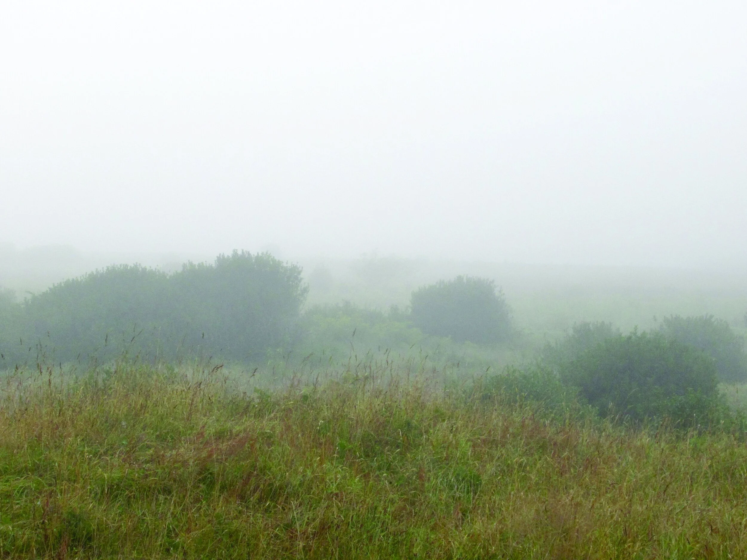


When you enter Sitka Sedge park, turn right and check out the map kiosk near the picnic tables. Dave’s Detour isn’t that difficult. Take Beltz Dike trail west and north about half a mile. Along the way is a bench — take a load off, relax, sit down for a while; benches need job security. Then, starting near the bend to the north, there are hundreds of old rose plants — only five petals, ahh but fragrant. The cliché is “take time to smell the roses.” At the end of Dike trail at the post, stay right onto Estuary View Loop. After several climbs and drops you reach a viewpoint, with another bench. It is a good place to watch kayaks, hopefully not stuck in mudflats at low tide; as well as egrets and other waterbirds.
Continue the Estuary loop another 0.4 mile, and pay attention to the signs saying ‘stay on the path.’ Trails to the right/west go into protected Snowy Plover area. The Estuary loop rejoins the path to the ocean, but there is more detour. Head back left/east about 40 to 50 steps and you will be at the junction of the Kinnikinnik Trail, turn right/south and hike about a quarter mile. You head left/east on the Elk Knoll trail — about 500 feet to a bench with a view (and often a good cooling breeze, even in the afternoon).
Returning to the Kinnikinnik Trail, go left/south another 0.3 mile to the end of the trail, and turn right/north taking the western loop half a mile back to the beach path to BA 34A (another 0.1 mile to the west and the ocean). Add another two miles of walking south along the beach and you are at Tierra del Mar.
Final Tally: Three and a half miles of picturesque opportunity with Dave’s Detour vs. one and a quarter miles of walking on road. It’s your choice.