
The case for Perpetua motion
I’m at the southern end of Lincoln County, which means, other than the short Hobbit Trail and Heceta Trail, the end of forested trails until Humbug Mountain — a distance of nearly 150 miles. So hiking extra detour miles aren’t an imposition, but a revisit of memory lane.
Having moved from Ohio in December 2015, I wanted to tackle the Yachats New Year’s Peace hike, only to find it cancelled when the Amanda bridge was destroyed by a clear-cut mud slide in mid-December. I waited for the bridge to be replaced and, in the interim, saw that Cape Perpetua had 12 trails, and a good-looking hoodie. In August 2016, I devoted three days to the trails and, on August 29, I finished the six-plus mile out-and-back Cummins Ridge Trail. I then treated myself to the hoodie.
•••
In the intervening years I hiked Amanda’s Trail, St. Perpetua Trail and the Giant Spruce Trail. I purchased books in the visitor center, watched films in the theater, and often attended lectures. Then, COVID hit and things closed down.
The visitor center finally reopened this July, although with a shortage of volunteers it is only open Wednesday through Sunday from 10 am to 4 pm. The outdoor deck is (with binoculars) a whale viewing area.
So, it is time to look at three detours with memorable views.
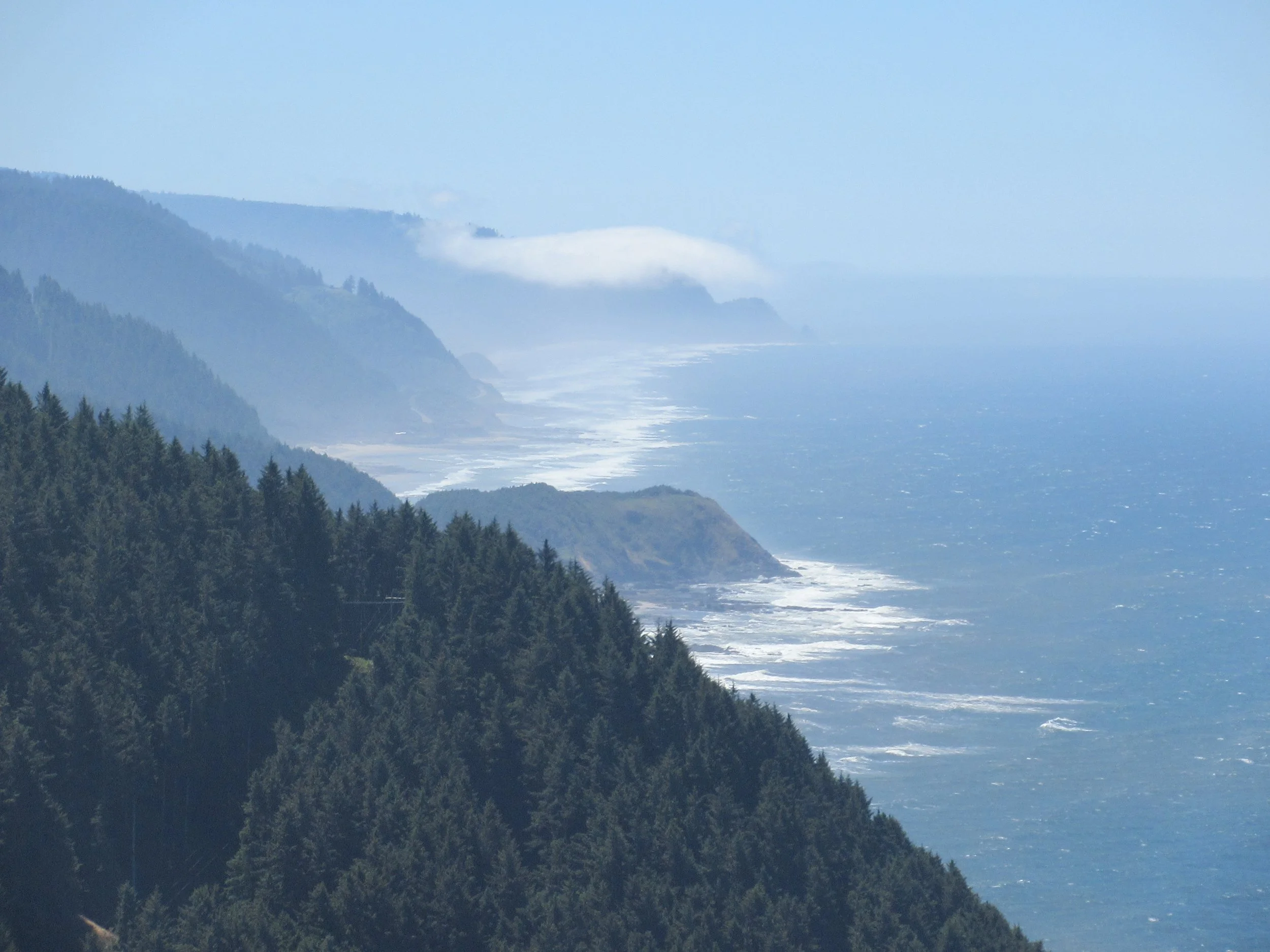
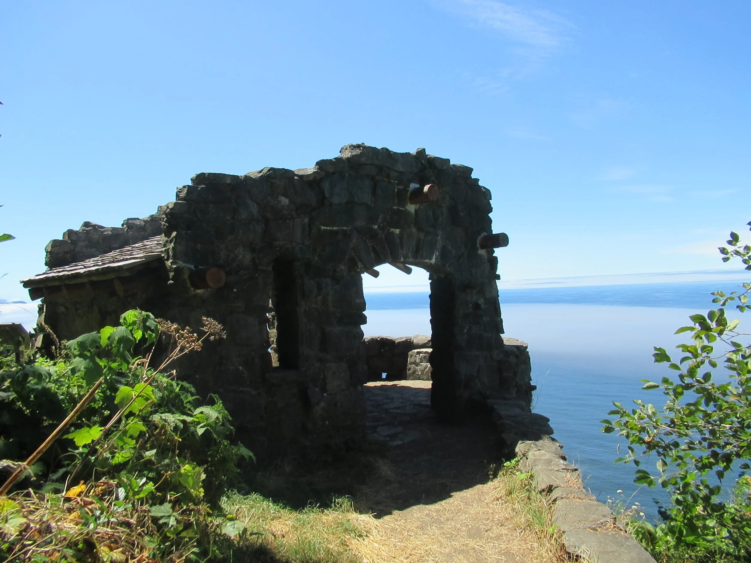
First, is a slight detour from Amanda’s Trail just before the parking lot at the top of Cape Perpetua. Instead of following Amanda’s Trail to the left, you go straight 100 feet. At the junction of Whispering Spruce, go right and, after 300 feet, you are at the West Stone Shelter. Built by the Civilian Conservation Corps around 1933, the structure was used in World War II for observation. In the fall of 2019, restoration work was completed. It has a great view on clear days. How far is the view? The formula for finding maximum distance is 1.2 times the square root of the height. For the shelter at 800-foot elevation the math works out to 35 miles. This panoramic viewpoint is a great place for whale watching. My odds of spotting whales here are more than 50 percent
Total detour is just under a fifth of a mile.
Second, is the Giant Spruce Trail. After hiking down St. Perpetua Trail, the Oregon Coast Trail goes left on the campground road for 100 yards, then turns right near a restroom. After a few more yards. you cross a wooden bridge. The Oregon Coast Trail goes right. Instead, go left on Giant Spruce Trail, 0.8 miles each way. The Giant Spruce is 15 feet in diameter and the trunk bole is large enough for several toddlers. Standing at 185 feet tall it was taller until the Columbus Day storm of 1962, when winds in excess of 160 mph blew off the uppermost 35 feet of the tree.
Total detour is 1.6 miles.
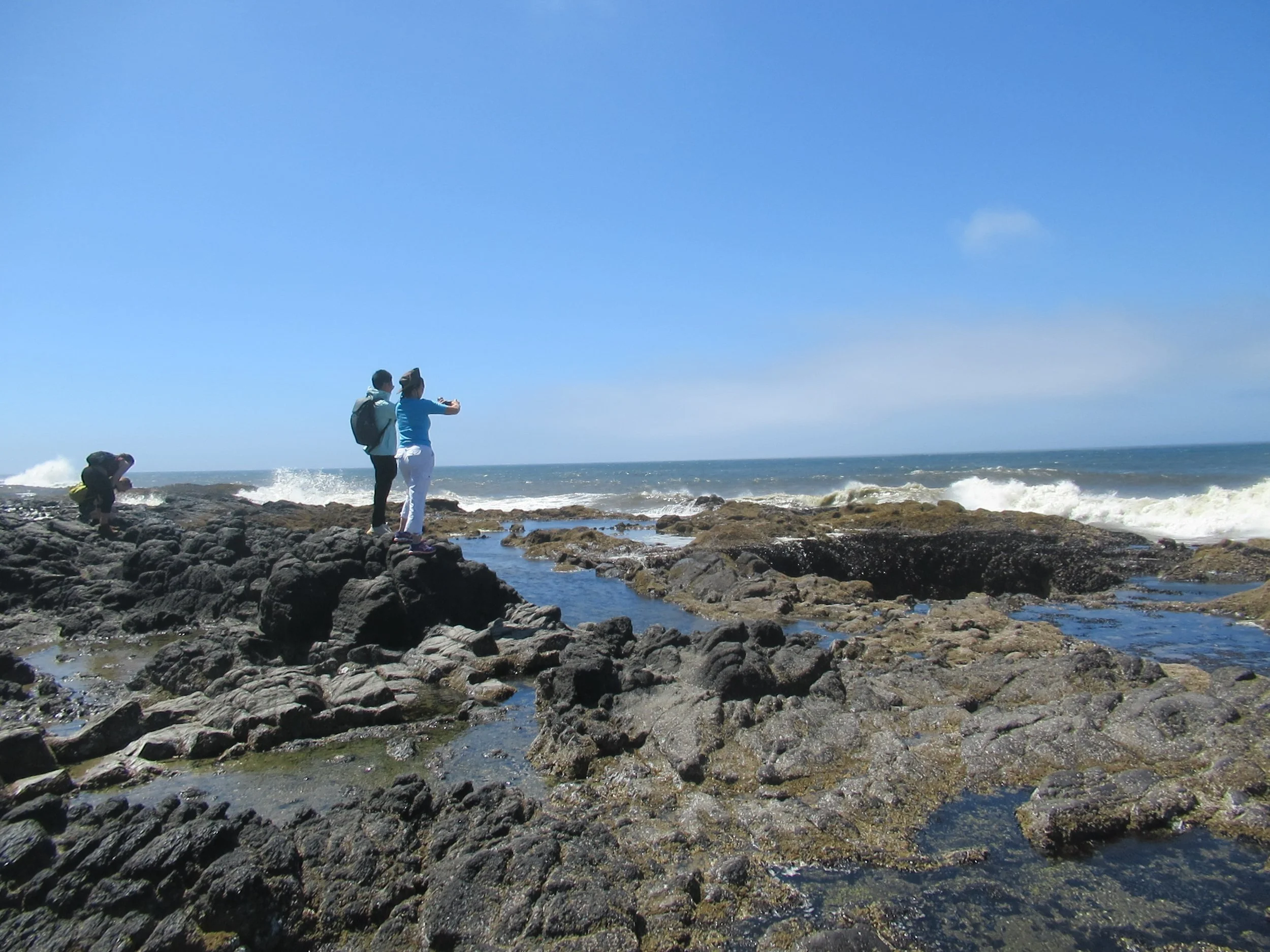
Third, is Thor’s Well and Spouting Horn. This is where having tide tables is oh-so-helpful, as both are tide- and weather-dependent. Both are better at high tide, much better at the higher daily high tide, and spectacular if there are large waves thrown in for good measure. After going about 50 yards down the paved trail from the visitor center, the Oregon Coast Trail turns left. Instead continue straight, take the tunnel under Highway 101, turn left and go a quarter mile and descend the steps to Thor’s Well and Spouting Horn. The Spouting Horn is roughly south of the stairs and Thor’s Well is about 250 feet west-northwest.
After visiting them, you retrace your steps, go under Highway 101 in the tunnel and, after roughly 250 feet, turn right/south to rejoin the Oregon Coast Trail.
Total detour is just over half a mile.
Final Tally: 2.3 miles of picturesque opportunity with Dave’s Detour or just plugging along. It’s your choice. Of course, the really adventurous can add any of the other trails of Cape Perpetua.